Form factor & Tech
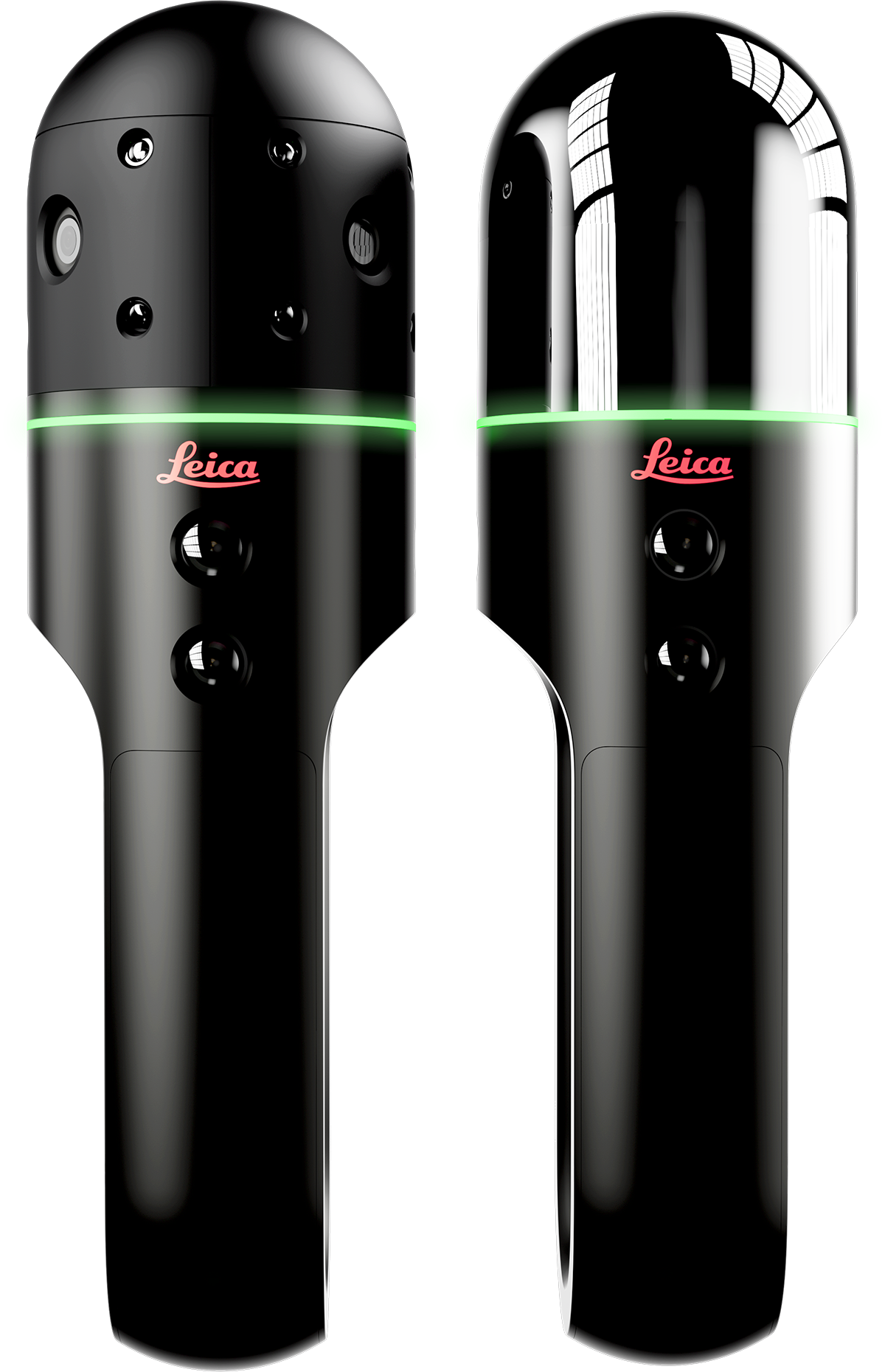
The BLK2GO and the BLK2GO PULSE share a similar form factor and shape. With the exception of the Quad Lock smartphone mount on the BLK2GO PULSE, the experience of handling the BLK2GO PULSE is much the same as that for the BLK2GO.
The BLK2GO PULSE uses a solid-state LiDAR array — two Time-of-Flight (ToF) sensors developed in collaboration with Sony — to emit a “pulse” of laser points that, along with the device’s RGB cameras, create a uniform colorized point cloud instantly. The BLK2GO, on the other hand, uses a more traditional dual-axis spinning LiDAR unit that delivers decimated point cloud data through the BLK Live app but requires post-processing for full colorization and registration.
Both have a high-resolution 12-megapixel camera on the front for capturing detail images and weigh approximately the same (775g for the BLK2GO and 850g for the BLK2GO PULSE with battery installed). Each has a battery that lasts around 45 minutes.
Ideal use cases
Because of the different technologies involved, each BLK2GO has particular strengths. Let’s take a look at each to help inform your buying journey.
BLK2GO PULSE — Indoor scanning with instant deliverables
The BLK2GO PULSE is designed for indoor scanning with a first-person viewpoint achieved through the BLK Live app for iOS and Android. This means that the scanner mimics the human field of view, and you “see what the scanner sees,” only capturing the exact data you need. This is compared to the BLK2GO, where the BLK Live app will show you a decimated monochrome point cloud but doesn’t reflect the totality of what the LiDAR sensor is capturing, including points overhead outside your field of view. This means that BLK2GO PULSE datasets are usually lighter since you’re less likely to capture points you didn’t intend to.
In addition, because of PULSE technology, the BLK2GO PULSE delivers colorized point clouds in real-time and automatically registers scans together for near-instant deliverables. With a range of 10 meters and a +/- 2cm accuracy, PULSE is ideal for creating floor plans, elevations and in facilities management use cases. Its instantly intuitive interface also means workers can pick up and start using a PULSE with minimal training.
“This is where the PULSE comes into the game,” said BLK Product Manager Gian-Philipp Patri. “When I want to capture a floorplan, I just point it at the floor and walk through. This makes the whole turnaround quicker because we have less data to transfer, less data to process, and less data to remove manually. While capturing, I ensure I already have exactly what I need.”
BLK2GO — Outdoor and indoor scanning with precision and versatility
Meanwhile, the BLK2GO remains a good decision for handheld mobile mapping that requires more precision, with a range of up to 25 meters and accuracy +/- 10mm indoors. The 360-degree nature of the LiDAR unit means it’s easier to capture larger spaces reflexively and is also an able performer outdoors and indoors. The nature of its LiDAR array means that the BLK2GO can also pick up points easily in dark and under-lit rooms, whereas the BLK2GO PULSE requires sufficient light to operate optimally.
The BLK2GO is still the fastest scanner for capturing spaces, but since it collects more data and the technology within is different, the BLK2GO does require post-processing either in Reality Cloud Studio, powered by HxDR, or in desktop software like Leica Cyclone REGISTER 360 PLUS, lengthening the amount of total time it takes to realize a final deliverable.
Visualization differences
The experience of the BLK2GO and BLK2GO PULSE is qualitatively different when viewed through the BLK Live app, as well as quantitatively different in how the actual data is displayed.
For the BLK2GO, the spinning dual-axis LiDAR creates a visualization with long lines and more vertical density, which you see a reduced monochrome version of while scanning through the BLK Live app — while also only seeing a portion of the data being captured by the LiDAR unit.
For the BLK2GO PULSE, the field of view via BLK Live app shows you exactly what the dual Time-of-Flight sensors are capturing as you move, and the nature of these sensors produces a uniform grid pattern in 3D space, returning an aesthetically pleasing colorized point cloud instantaneously.
Post-processing versus no post-processing
As discussed, the BLK2GO PULSE can be processed in any of Leica Geosystems’ powerful software ecosystem but can also be exported directly as a complete E57 file from the BLK Live app, compared to scans from the BLK2GO, which must be processed. Depending on how you use the data, this is a significant differentiator between the two units.
“I talked to a potential customer looking at something for facility management who wants to document objects quickly, and this is a perfect use case for the PULSE,” Patri explained. “He wants to have a basic room layout but then, when needed, get extra information about the documentation. So you get the colorized point cloud with the accuracy of a couple of centimeters, but in there, we map the objects of interest with the detail camera, make a photo, and know where an object is located in this overall space like a kind of database. The PULSE was potentially perfect for him because he said, ‘I want to be in control of what I capture.’”